Monitor Vast Areas.
Inspect Distant Assets.

Nomadium builds long-range autonomy for the missions others cannot reach.

01 / Round

Join us in securing europe's ecosystems and communities,
while Gaining exposure to 3 exciting technological vectors.

Nomadium Robotics integrates Drone Tech with Aerospace and AI/Robotics to solve the real-world challenges in security and ecology.

02 / Overview

The short version

Nomadium Robotics builds AI-first unmanned aerial systems that collect data at industrial scale, in places ground crews cannot reach safely or affordably.

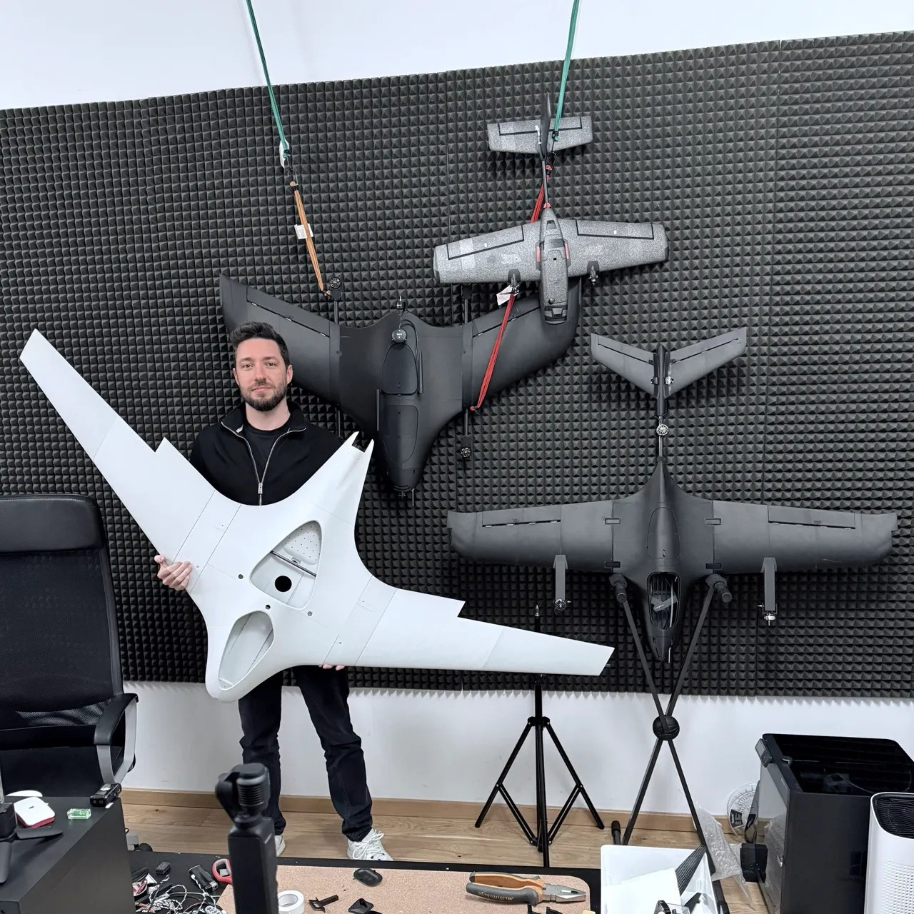
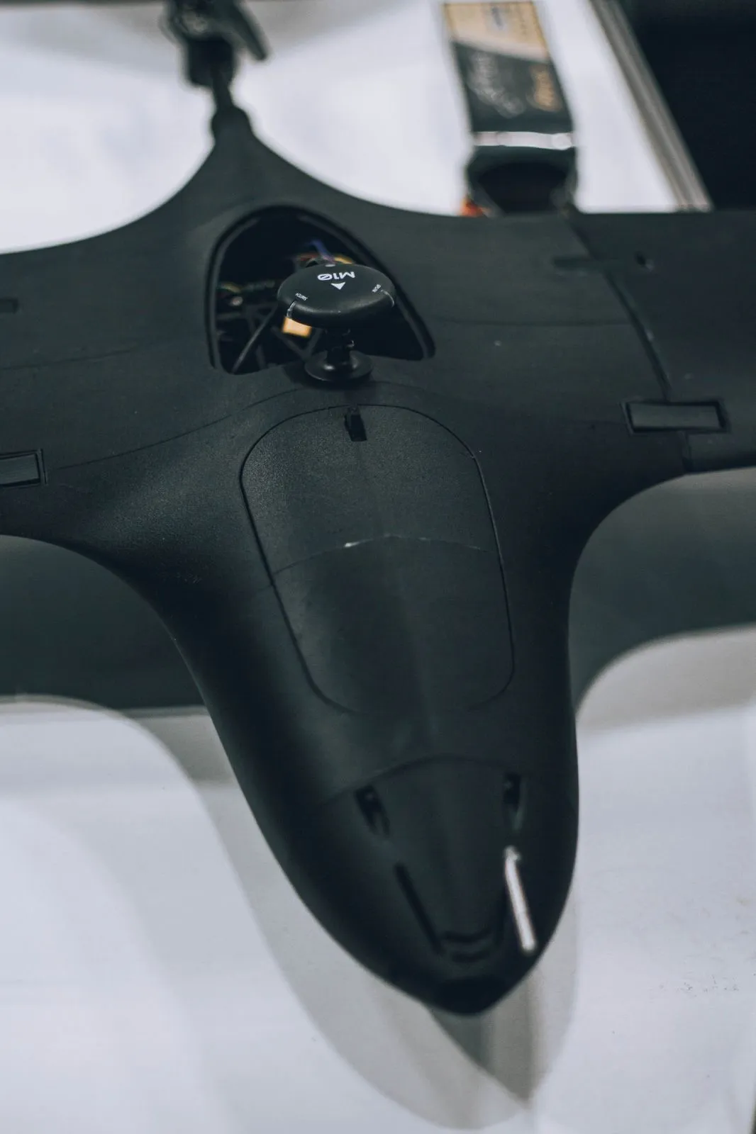
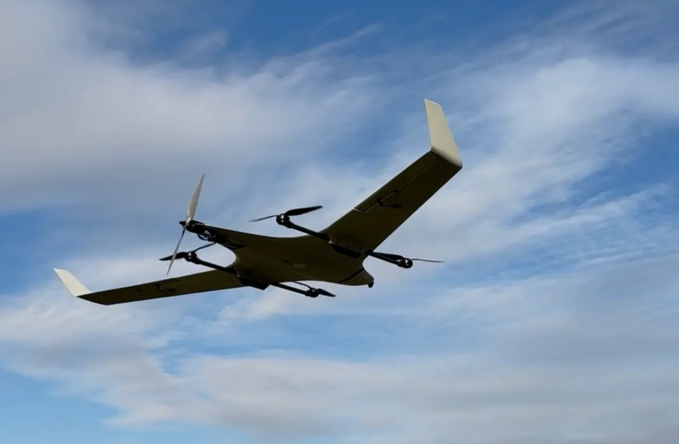
The core product is vertically integrated: TerraHawk, a long-range aircraft, and Spotlight, the AI sensing payload it flies with. Spotlight analyses what it sees in real time. It finds faults in solar farms, defects on telecom towers, leaks in water networks and body heat in search and rescue. The same system handles precision mapping, crop monitoring and security surveillance. TerraHawk takes off and lands vertically, needs no runway, and stays airborne for over three hours. That is 6 times longer than a traditional multirotor drone, in the same price bracket.

TerraPod, Nomadium's automated hangar, makes that system fully autonomous. The aircraft launches, flies its route, returns and recharges with no pilot in the loop, cutting operating costs by a factor of 10.

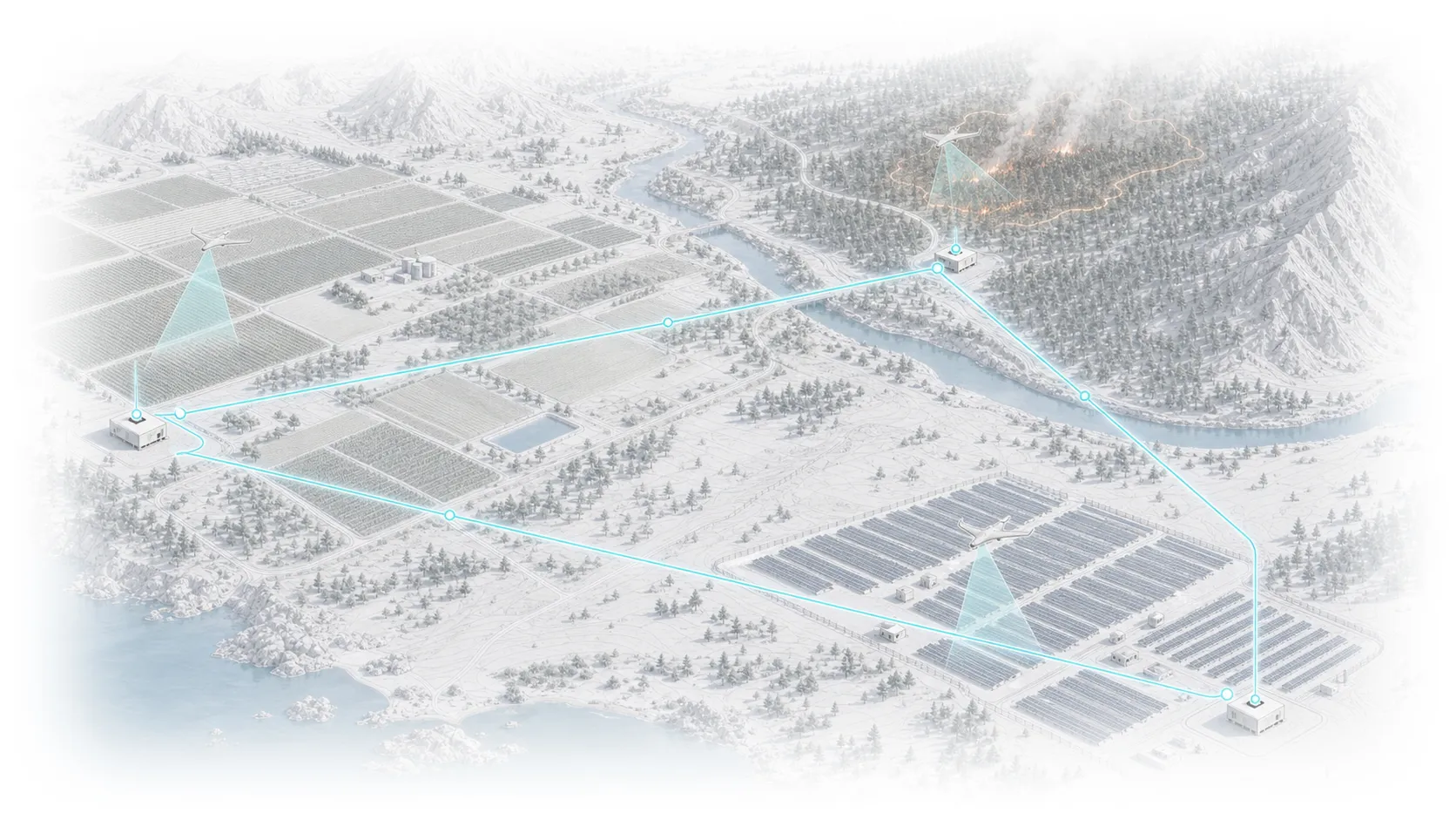
FarSight connects those hangars into a shared network across Europe. Customers buy no hardware. They buy missions. It is the Uber model for aerial data: pay per use, access on demand, zero capital expenditure. Over time that network builds a continuously updated digital picture of the continent.

Nomadium Robotics is building Europe's aerial intelligence infrastructure, starting from Sofia, Bulgaria.

farsight

aerial intelligence infrastructure

Europe's Scalable Infrastructure for On-Demand Aerial Inspections, Mapping and ISR

Technical drawing of the FarSight network of autonomous aerial nodes across a landscape
Team

Meet The A-Team

A team that met at an "Entrepreneur's Night Out" in Sofia, Bulgaria some time ago...

Portrait of George Petrov

George Petrov

Founder/CEO & Head of Product

Serial tech entrepreneur with an unrelenting drive towards novel technologies that solve real-world problems. George has a Master of Innovation Entrepreneurship and Finance, and is himself a master of bootstrapping and product design. As a resourceful generalist, he is the founder of Trevor AI, Trevor Workspaces, Pathfinder George (YT) and most notably - Nomadium Robotics.

Bulgarian

Portrait of Petar Gerdzhikov

Petar Gerdzhikov

Head of Operations & Additive Manufacturing

A self-motivated generalist, able to tackle anything life throws at him. Petar has experience in business operations in both established businesses, and his own ventures (3DMOMTSI) - from supply-chains and logistics to customer relationships and shipping self-made products. Petar has dedicated his recent years to additive manufacturing, making him a key asset to the team.

Bulgarian

Portrait of Mark Simion

Mark Simion

Head of Research & Autonomous Systems

A young UAV technician with insane talent, direct experience from industry leaders and a healthy(?) obsession with Autonomous Systems, including visual autonomy, like object recognition and tracking. Mark will play a key role in R&D, manufacturing and autonomy for all of our products. Need someone to push 250 commits during the holidays? Mark is the guy.

Romanian

Portrait of Stefan Marinov

Stefan Marinov

Head of Mechanical Engineering & Testing

The definition of an "Engineer". Stefan keeps asking "Why" until he understands the key principles. He has a mind made for generating solutions to problems we didn't even know we had. He'll play a key role in CAD & mechanical systems design, most notably TerraHawk's modular payload system, the TerraPods robotised hangars and testing systems.

Bulgarian

Anonymous placeholder portrait

Y.

Head of Software & Cloud Architecture

Mr. Y. prefers to stay anonymous (for now) due to the dual-use nature of drone technology. He's a kind heart and a master of his craft. Y. has a Masters in Computer Science, over 15 years of experience as a lead software developer and architect, and a new-found obsession with "coding" agent workflows and (flying) robots.

Bulgarian

03 / Document

White Paper on Autonomous Aerial Intelligence, by nomadium robotics

🌎 Mission: To strengthen communities and businesses through an on-demand Autonomous Aerial Intelligence network for routine inspections and swift response.

🚀 Strategy: Start with (1) high-margin drone sales, (2) reinvest in autonomous infrastructure, then (3) scale into a service-led model and (4) monetize the network’s aerial data through a digital twin model.

Stage 1 – TerraHawk: Large-Scale Mapping and inspections

🌐 Enter the professional drone market by offering a survey-grade photogrammetry UAV that outperforms incumbents on a performance-per-dollar basis by a factor of two.

Problem

  • Traditional survey-grade drones are costly and inaccessible for SMEs and freelance professionals (the majority of the market).

Execution

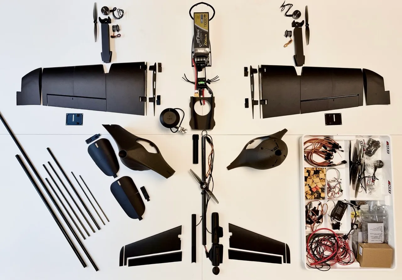
  • Launch TerraHawk, a C2 & C6-certified UAV with 3–4 hour endurance and modular payloads (photogrammetry cameras, AI sensors).
  • Proprietary 3D-printed airframes and direct-to-customer distribution reduce system cost by ~50% versus comparable platforms (Wingtra, eBee X, Trinity).
  • Initial focus on price-sensitive regions such as the Balkans, addressing a €7.5–15M serviceable market.

Market Opportunity

  • Global drone mapping market: USD 1.3B in 2025, growing at 17% CAGR to 2035.
  • Europe’s 3D mapping & modelling market: USD 2.96B (2024)USD 9.81B by 2033.
  • Demand driven by land surveying, construction, agriculture, and environmental monitoring.

Outcome

  • Early sales generate cash flow and real-world feedback while validating engineering.
  • Profits fund autonomous infrastructure development in Stage 2.

Stage 2 – terrapod: Fully Autonomous Inspection

🔍 Transition from drone sales to subscription-driven infrastructure by delivering fully autonomous inspection drones housed in “TerraPod” Robo-Hangars, eliminating the need for licensed pilots.

Problem

  • Critical infrastructure requires frequent inspections, but reliance on pilots and helicopters makes this expensive, slow, and risky.

Execution

  • Package Pathfinder drones into automated hangars that charge, shelter, and dispatch UAVs autonomously.
  • Sell or lease systems to utilities, telecoms, mining, solar, and agricultural operators.
  • Customers pay upfront for hardware and subscribe for software, BVLOS compliance, insurance, and remote operations.
  • TerraHawk profits fund BVLOS approvals and product maturation.

Market Opportunity

  • Drone inspection & monitoring market: USD 13.48B (2024)USD 31.1B by 2029.
  • Inspection drones market: USD 11.75B in 2025, 21.6% CAGR to 2030.
  • EU BVLOS and U-Space regulations are maturing and expected to enable scalable operations by Stage 2.

Outcome

  • Converts one-time hardware buyers into recurring-revenue clients.
  • Each Robo-Hangar becomes a node enabling the on-demand network in Stage 3.

Stage 3 – FarSight: On-Demand Aerial data platform

🌐 Deploy Robo-Hangars into an “Uber for aerial intelligence”. It delivers on-demand mapping, inspection, search & rescue, and environmental monitoring without customer CAPEX.

Problem

  • Many organizations need aerial data occasionally but cannot justify owning and operating fleets.

Execution

  • Customers define area, urgency, and mission via a web interface.
  • The nearest hangar dispatches a drone automatically.
  • Dynamic pricing reflects urgency; missions are logged and paid via subscription or per-mission fees.
  • Initial rollout in BVLOS-approved regions with supportive airspace frameworks.
  • Each hangar may function as an investment node with smart-contract revenue sharing (KYC increases overhead).

Market Opportunity

  • Commercial drone services market: USD 7.62B (2025)USD 30.3B by 2035.
  • Drone-as-a-Service: USD 6.3B (2024)USD 27.3B by 2033.
  • Service layers consistently outpace hardware growth due to abstraction of ownership.

Outcome

  • Generates annuity-like revenue and strong network effects.
  • Every new hangar improves coverage, response time, and defensibility.

Stage 4 – Digital Twin Network Effect

🇪🇺 Achieve EU-wide coverage while transforming network-generated data into a high-margin revenue stream.

Problem

  • Fragmented and inconsistent aerial data limits planning, resilience, and environmental stewardship.

Execution

  • Scale Robo-Hangars across Europe aligned with EASA U-Space and BVLOS frameworks.
  • Use decentralized funding (e.g., tokenized ownership) to accelerate deployment.
  • Systematically collect, process, anonymize, and index imagery and sensor data from every mission.

Market Opportunity

  • Europe 3D mapping & modelling: USD 9.81B by 2033.
  • Geospatial analytics: USD 114.32B (2024)USD 226.53B by 2030.
  • Digital twin technologies: USD 21.14B (2025)USD 149.81B by 2030.

Outcome

  • Each new hangar compounds both service revenue and proprietary data value.
  • Data monetized via APIs and analytics platforms becomes a defensible, high-margin business line.

A Vision for Impact

Our roadmap is more than a business plan. It is a commitment to a future where the sky serves society. By democratizing access to high-quality aerial intelligence, we empower communities, governments, and businesses to prevent disasters, optimize infrastructure, and steward natural resources.

Every flight can help a farmer reduce water use, a utility prevent outages, or a rescue team save lives. As the network grows, so does our ability to monitor forests, detect pollution, and map climate-affected regions, forming a living digital twin of our environment.

Technology, transparency, and purpose together can build a safer, cleaner, and more equitable world.

George Petrov, Founder

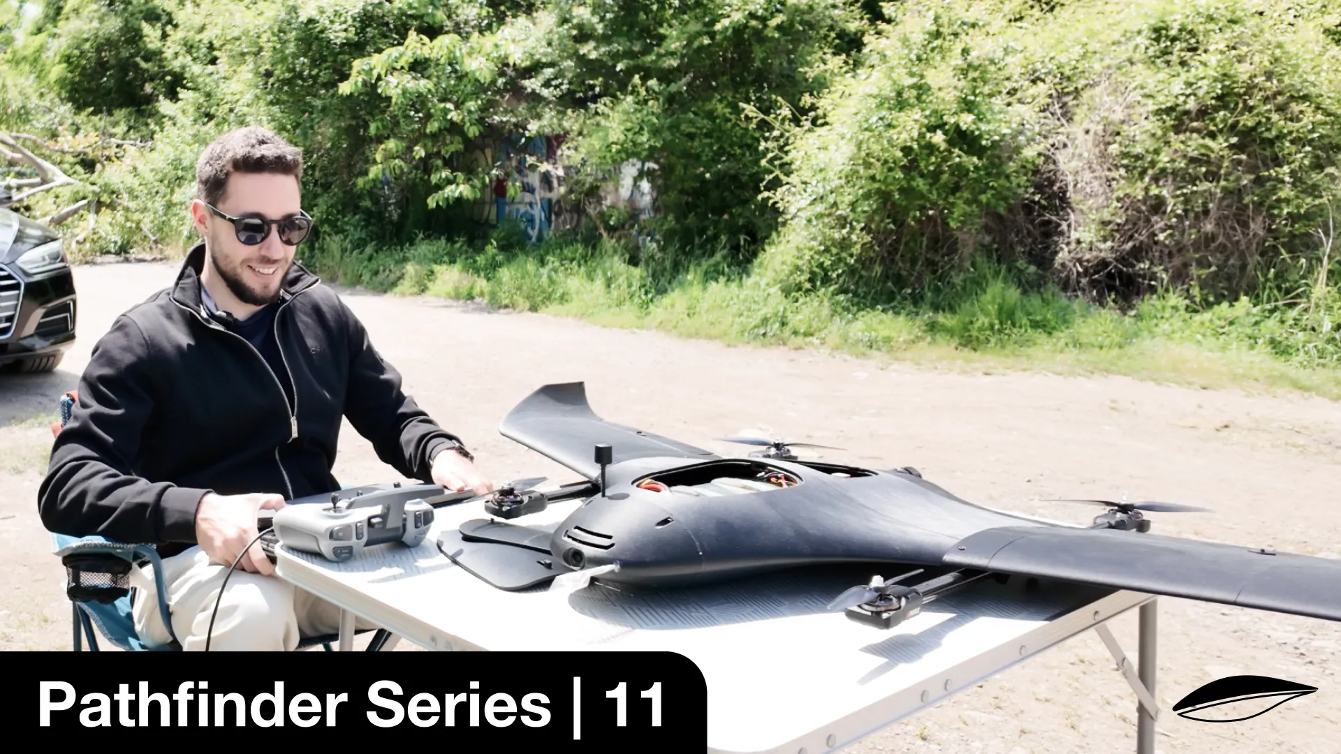
Still from the Pathfinder George YouTube channel showing the TerraHawk in the field

Join 25'000+ Followers

Follow our journey on our Founder's YouTube & IG channels:

PathfinderGeorge
[Learn more @ www.nomadiumrobotics.com]1.2.1[Aerial Robotics for a Resilient Future]